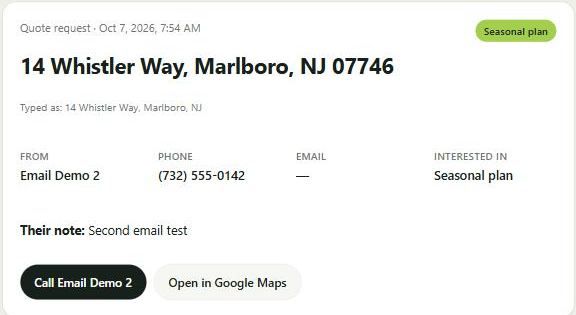
When a customer types their address into your site, you get an email with their lot size, a turf estimate and an aerial view of the property, before you've picked up the phone.
Street, town, ZIP. Name and phone. Thirty seconds on their phone.
The system finds the lot in the state parcel records, measures it, subtracts the house and driveway, and pulls current aerial photos.
Address, contact info, what they want, lot size, turf estimate and a link to the full property packet. Usually within ten seconds.
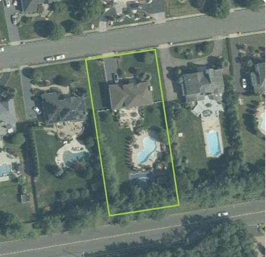
A test submission for a house in Marlboro. The lot outline comes from the county parcel map; the photo is USDA aerial imagery. A second view shows the lot with the leaves off, so beds, fences and pools are easy to see.


Customer calls or fills in a contact form. You call back, ask about the yard, drive out to look, drive back, write the quote. A day or two later, they've also called two other companies.
Customer sends their address. You open the email, see the lot and the turf estimate, and call back with a lawn care price while they're still thinking about it. Drive out only for the patios and the big jobs.
Built on public state and federal data, so there are no per-lookup fees. Set your mowing rate once and every packet comes with a suggested seasonal price.